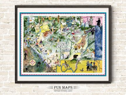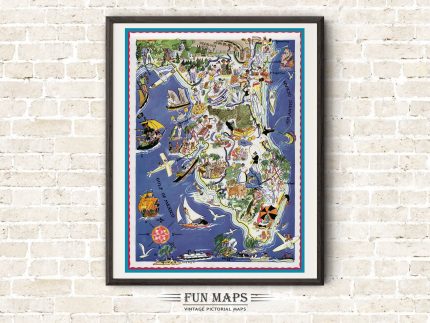
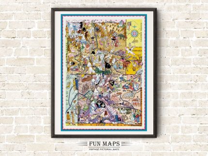
Vintage State Map of Maine


These are fun colorfully whimsical illustrations from a bygone time. Each map captures the essence of the state or states being depicted. Remember you’re looking at 1930’s comic satire, where stereotypes and political correctness were viewed through a much broader lens. This map series is a compilation of prints. Some with two adjoining states in the same illustration and some depicting only one state in the illustration. Each map lists many of the primary cities, towns, and points of interest throughout the state. Also available is the accompanying information page, with corresponding numbers, that reference History and Facts on each map. You can purchase only the map or both the map and the state info page. (WATERMARK will not appear on your print)
This is a high-quality reproduction of a 1930’s vintage map with illustrations by Berta and Elmer Hader. Each map was individually scanned using state of the art equipment to capture every detail from the original. The file has been expertly retouched and enhanced to produce the highest quality print, while staying true to the original illustrations, including the vintage colors and tones. (Frame Not Included)